Hospital nearby Cemetary
United States
Hospital nearby Cemetary
Cemetary
38, Crest Drive, 10607, White Plains, Westchester County, US Соединенные Штаты Америки
contacts phone
:
+1
Latitude:
41.0289226
, Longitude:
-73.8309175
larger map & directions
read more
nearest Hospital
2.779 km
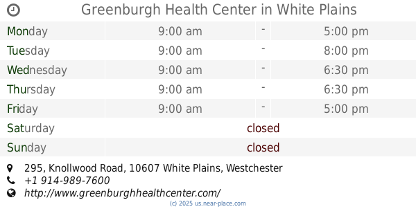
Greenburgh Health Center
295 Knollwood Road, White Plains
Hospital
read more
3.065 km
St John's Riverside Hospital - Dobbs Ferry Pavillion
128 Ashford Avenue, Dobbs Ferry
Hospital
read more
3.165 km
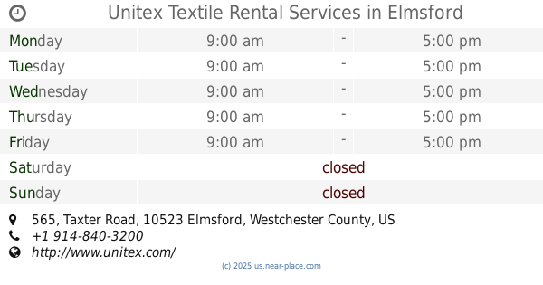
Unitex Textile Rental Services
565 Taxter Road Suite 620, Elmsford
Hospital
read more
3.216 km
St Johns Riverside Hospital - Greenburgh Addiction Treatment Services GATS
30 Manhattan Avenue, White Plains
Hospital
read more
3.363 km
AFC Urgent Care Hartsdale
359 North Central Avenue, Hartsdale
Hospital
read more
3.755 km
Planned Parenthood - White Plains Health Center
175 Tarrytown Road, White Plains
Hospital
read more
4.383 km
Pediatrics of Sleepy Hollow
150 White Plains Road #101, Tarrytown
Hospital
read more
4.396 km
Montefiore Health System
555 South Broadway, Tarrytown
Hospital
read more
4.574 km
Scarsdale Women's Center OB/Gyn
1075 Central Park Avenue, Scarsdale
Hospital
read more
4.99 km
Imetra Co
200 Clearbrook Road # 140, Elmsford
Hospital
read more
5.161 km
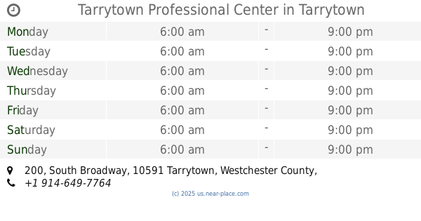
Tarrytown Professional Center
200 South Broadway, Tarrytown
Hospital
read more
5.161 km
Montefiore Einstein Center For Heart & Vascular Care
200 Broadway, Tarrytown
Hospital
read more
5.388 km
Rothman Medical Center
503 Grasslands Road, Valhalla
Hospital
read more
5.516 km
Crohn's & Colitis Foundation
3010 Westchester Avenue suite 106, Purchase
Hospital
read more
5.71 km
Hebrew Hospital Home Inc
61 Grasslands Road, Valhalla
Hospital
read more
📑
all categories
Accounting
Administrative area level 1
Administrative area level 2
Airport
Amusement park
Aquarium
Art gallery
Atm
Bakery
Bank
Bar
Beauty salon
Bicycle store
Book store
Bowling alley
Bus station
Cafe
Campground
Car dealer
Car rental
Car repair
Car wash
Casino
Cemetery
Church
City hall
Clothing store
Colloquial area
Convenience store
Courthouse
Dentist
Department store
Doctor
Electrician
Electronics store
Embassy
Establishment
Finance
Fire station
Florist
Food
Funeral home
Furniture store
Gas station
General contractor
Grocery or supermarket
Gym
Hair care
Hardware store
Health
Hindu Temple
Home goods store
Hospital
Insurance agency
Intersection
Jewelry store
Laundry
Lawyer
Library
Light rail station
Liquor store
Local government office
Locality
Locksmith
Lodging
Meal delivery
Meal takeaway
Mosque
Movie rental
Movie theater
Moving company
Museum
Natural feature
Neighborhood
Night club
Painter
Park
Parking
Pet store
Pharmacy
Physiotherapist
Place of worship
Plumber
Point of interest
Police
Political
Post office
Premise
Real estate agency
Restaurant
Roofing contractor
Route
Rv park, camping
School
Shoe store
Shopping mall
Spa
Stadium
Storage
Store
Subpremise
Subway station
Supermarket
Synagogue
Taxi stand
Train station
Transit station
Travel agency
University
Veterinary care
Zoo
administrative area level 3
sublocality level 1
↑