Convenience store nearby Shell
United States
Convenience store nearby Shell
Shell
6801, Livingston Road, 20745, Oxon Hill, Prince George's County, US United States
contacts phone
:
+1 301-686-0060
website:
find.shell.com
Latitude:
38.796382
, Longitude:
-76.9846303
larger map & directions
read more
nearest Convenience store
1.645 km
Royal Farms
100 Monument Avenue #2, Oxon Hill
Grocery or supermarket
Convenience store
Gas station
Atm
Finance
Meal takeaway
Restaurant
Food
Point of interest
Store
Establishment
read more
2.262 km
7-Eleven
5521 Livingston Road, Oxon Hill
Convenience store
Liquor store
Gas station
Cafe
Bakery
Meal takeaway
Restaurant
Food
Store
Point of interest
Establishment
read more
3.121 km
CVS
4901 Maryland 210, Oxon Hill
Convenience store
read more
3.131 km
7-Eleven
4675 South Capitol Street Southwest, Washington
Convenience store
read more
3.242 km
Rite Aid
4635 South Capitol Street Southwest, Washington
Convenience store
read more
3.545 km
Fort Drum Market
4686 Martin Luther King Junior Avenue Southwest, Washington
Convenience store
read more
4.517 km
7-Eleven
3900 Martin Luther King Junior Avenue Southwest, Washington
Convenience store
read more
5.617 km
AAFES Express
1311 Chappie James Boulevard, Washington
Convenience store
read more
14.784 km
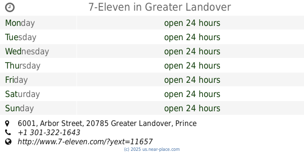
7-Eleven
6001 Arbor Street, Greater Landover
Convenience store
read more
15.028 km
Shell
3332 Langston Boulevard, Arlington
Gas station
Atm
Convenience store
Finance
Store
Food
Point of interest
Establishment
read more
15.742 km
CVS
7041 Martin Luther King Junior Highway, Palmer Park
Convenience store
read more
15.743 km
7-Eleven
7206 Sheriff Road, Greater Landover
Convenience store
read more
16.635 km
George's Carryout
7313 Landover Road, Hyattsville
Convenience store
read more
16.729 km
7-Eleven
7501 Landover Road, Hyattsville
Convenience store
read more
17.167 km
Variedades Delmis
7726 Landover Road, Hyattsville
Convenience store
read more
📑
all categories
Accounting
Administrative area level 1
Administrative area level 2
Airport
Amusement park
Aquarium
Art gallery
Atm
Bakery
Bank
Bar
Beauty salon
Bicycle store
Book store
Bowling alley
Bus station
Cafe
Campground
Car dealer
Car rental
Car repair
Car wash
Casino
Cemetery
Church
City hall
Clothing store
Colloquial area
Convenience store
Courthouse
Dentist
Department store
Doctor
Electrician
Electronics store
Embassy
Establishment
Finance
Fire station
Florist
Food
Funeral home
Furniture store
Gas station
General contractor
Grocery or supermarket
Gym
Hair care
Hardware store
Health
Hindu Temple
Home goods store
Hospital
Insurance agency
Intersection
Jewelry store
Laundry
Lawyer
Library
Light rail station
Liquor store
Local government office
Locality
Locksmith
Lodging
Meal delivery
Meal takeaway
Mosque
Movie rental
Movie theater
Moving company
Museum
Natural feature
Neighborhood
Night club
Painter
Park
Parking
Pet store
Pharmacy
Physiotherapist
Place of worship
Plumber
Point of interest
Police
Political
Post office
Premise
Real estate agency
Restaurant
Roofing contractor
Route
Rv park, camping
School
Shoe store
Shopping mall
Spa
Stadium
Storage
Store
Subpremise
Subway station
Supermarket
Synagogue
Taxi stand
Train station
Transit station
Travel agency
University
Veterinary care
Zoo
administrative area level 3
sublocality level 1
↑