Airport nearby Taylor Field Heliport
United States
Airport nearby Taylor Field Heliport
Taylor Field Heliport
Pershing Loop, 11209, Kings County, New York, US Соединенные Штаты Америки
contacts phone
:
+1 718-630-4779
Latitude:
40.6050314
, Longitude:
-74.0223392
larger map & directions
read more
nearest Airport
2.876 km
Chico Express car and limo service Brooklyn,new york
6318 14th Avenue, Brooklyn
Airport
read more
10.213 km
Liberty State Park Heliport
200 Morris Pesin Drive, Jersey City
Airport
read more
10.352 km
JFK airport
31 Constitution Way, Jersey City
Airport
read more
12.152 km
NYPD Helipad
Brooklyn
Airport
read more
12.474 km
Rollins Jersey City Helistop
Jersey City
Airport
read more
15.054 km
BLADE Aqua Lounge
2430 FDR Drive-Main Terminal, New York
Airport
read more
15.179 km
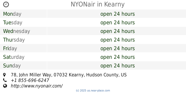
NYONair
78 John Miller Way, Kearny
Airport
read more
15.712 km
Аэропорт Ньюарк
New Jersey Turnpike, Newark
Airport
read more
15.904 km
Ньюарк
3 Brewster Road, Newark
Airport
read more
16.058 km
SAS Business Lounge, Newark International Airport
Newark
Airport
read more
16.111 km
HHI Heliport
165 Western Road, Kearny
Airport
read more
16.172 km
Newark international airport
U.S. 1 Truck, Newark
Airport
read more
16.172 km
Международный аэропорт Ньюарк
U.S. 1 Truck, Newark
Airport
read more
16.448 km
American Airlines Cargo
Newark Liberty International AIrport, 339 Brewster Road, Newark
Airport
read more
16.85 km
Monroe Limousine
832 Spring Street, Elizabeth
Airport
read more
📑
all categories
Accounting
Administrative area level 1
Administrative area level 2
Airport
Amusement park
Aquarium
Art gallery
Atm
Bakery
Bank
Bar
Beauty salon
Bicycle store
Book store
Bowling alley
Bus station
Cafe
Campground
Car dealer
Car rental
Car repair
Car wash
Casino
Cemetery
Church
City hall
Clothing store
Colloquial area
Convenience store
Courthouse
Dentist
Department store
Doctor
Electrician
Electronics store
Embassy
Establishment
Finance
Fire station
Florist
Food
Funeral home
Furniture store
Gas station
General contractor
Grocery or supermarket
Gym
Hair care
Hardware store
Health
Hindu Temple
Home goods store
Hospital
Insurance agency
Intersection
Jewelry store
Laundry
Lawyer
Library
Light rail station
Liquor store
Local government office
Locality
Locksmith
Lodging
Meal delivery
Meal takeaway
Mosque
Movie rental
Movie theater
Moving company
Museum
Natural feature
Neighborhood
Night club
Painter
Park
Parking
Pet store
Pharmacy
Physiotherapist
Place of worship
Plumber
Point of interest
Police
Political
Post office
Premise
Real estate agency
Restaurant
Roofing contractor
Route
Rv park, camping
School
Shoe store
Shopping mall
Spa
Stadium
Storage
Store
Subpremise
Subway station
Supermarket
Synagogue
Taxi stand
Train station
Transit station
Travel agency
University
Veterinary care
Zoo
administrative area level 3
sublocality level 1
↑