Convenience store nearby Rite Aid
Coronavirus disease (COVID-19) Situation
confirmed cases
111820082
deaths
1219487
United States
Convenience store nearby Rite Aid
Rite Aid
13201 Aurora Avenue North, Seattle United States
contacts phone
:
+1
Latitude:
47.725587
, Longitude:
-122.346914
read more
nearest Convenience store
2.887 km
Walgreens
859 Northeast Northgate Way, Seattle
Convenience store
read more
2.933 km
ampm
10822 Roosevelt Way Northeast, Seattle
Convenience store
read more
6.945 km
Ballard Stop
2220 Northwest Market Street, Seattle
Convenience store
read more
7.33 km
7-Eleven
1105 Northeast 47th Street, Seattle
Convenience store
read more
7.497 km
Stadium Market
4359 Roosevelt Way Northeast, Seattle
Convenience store
read more
7.873 km
University Food & Beverage
4203 University Way Northeast, Seattle
Convenience store
read more
8.12 km
7-Eleven
304 North 36th Street, Seattle
Convenience store
read more
8.177 km
Fremart
418 North 36th Street, Seattle
Convenience store
read more
11.271 km
CVS
531 Queen Anne Avenue North, Seattle
Convenience store
read more
12.126 km
Rite Aid
2603 3rd Avenue, Seattle
Convenience store
read more
12.165 km
Amazon Go
2131 7th Avenue, Seattle
Convenience store
read more
13.438 km
76
2724 84th Avenue Northeast, Clyde Hill
Gas station
Atm
Convenience store
Finance
Liquor store
Food
Store
Point of interest
Establishment
read more
14.497 km
Quick Pack Food Mart
2616 South Jackson Street, Seattle
Convenience store
read more
17.12 km
ampm
11611 Northeast 8th Street, Bellevue
Convenience store
Atm
Finance
Food
Store
Point of interest
Establishment
read more
20.645 km
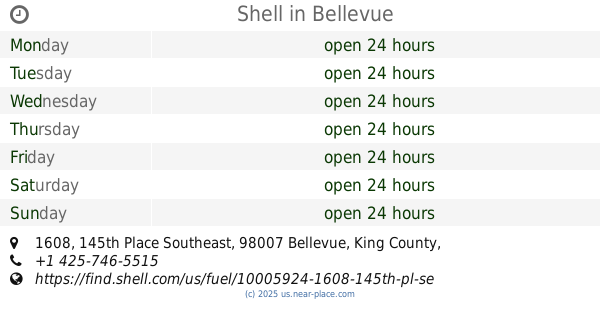
Shell
1608 145th Place Southeast, Bellevue
Gas station
Atm
Convenience store
Finance
Store
Food
Point of interest
Establishment
read more
📑
all categories
Accounting
Administrative area level 1
Administrative area level 2
Airport
Amusement park
Aquarium
Art gallery
Atm
Bakery
Bank
Bar
Beauty salon
Bicycle store
Book store
Bowling alley
Bus station
Cafe
Campground
Car dealer
Car rental
Car repair
Car wash
Casino
Cemetery
Church
City hall
Clothing store
Colloquial area
Convenience store
Courthouse
Dentist
Department store
Doctor
Electrician
Electronics store
Embassy
Establishment
Finance
Fire station
Florist
Food
Funeral home
Furniture store
Gas station
General contractor
Grocery or supermarket
Gym
Hair care
Hardware store
Health
Hindu Temple
Home goods store
Hospital
Insurance agency
Intersection
Jewelry store
Laundry
Lawyer
Library
Light rail station
Liquor store
Local government office
Locality
Locksmith
Lodging
Meal delivery
Meal takeaway
Mosque
Movie rental
Movie theater
Moving company
Museum
Natural feature
Neighborhood
Night club
Painter
Park
Parking
Pet store
Pharmacy
Physiotherapist
Place of worship
Plumber
Point of interest
Police
Political
Post office
Premise
Real estate agency
Restaurant
Roofing contractor
Route
Rv park, camping
School
Shoe store
Shopping mall
Spa
Stadium
Storage
Store
Subpremise
Subway station
Supermarket
Synagogue
Taxi stand
Train station
Transit station
Travel agency
University
Veterinary care
Zoo
administrative area level 3
sublocality level 1
↑